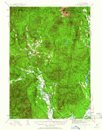
1942 Map of North Conway
USGS Topo · Published 1961About this map
The Saco River valley serves as the primary corridor for settlement and transit through the White Mountains during this mid-century period. Concentrated around the Boston and Maine Railroad, villages like North Conway and Redstone anchor a landscape defined by timber, tourism, and mountain recreation. The map highlights an era of active forest management and hiking infrastructure, featuring the Cold River AMC Camp and several backcountry shelters such as the Black Mtn Cabin. Notable topographical landmarks including Humphreys Ledge and Cathedral Ledge overlook the broad valley floor, while fire lookouts like the Kearsarge North Fire Tower and Iron Mtn Fire Tower survey the surrounding White Mountain National Forest. This survey captures the region just as the transition from a rail-dependent economy to a motor-tourist destination was solidifying, evidenced by the network of trails and roads like the Hurricane Mountain Road.
Find a feature on this map
141 named features on this map. Tap any name to fly to it.
Don’t see what you’re looking for? This feature index may not catch every label — zoom into the map to look around manually.
Map Details
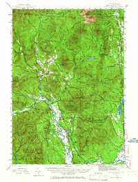
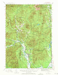
Editions of this 1942 North Conway Map
4 editions found

Other maps of this area

1893 · Mt. Washington
USGS Topo · 1:62,500

1893 · Gorham
USGS Topo · 1:62,500

1894 · North Conway
USGS Topo · 1:62,500

1895 · Crawford Notch
USGS Topo · 1:62,500

1896 · Mt. Washington
USGS Topo · 1:62,500

1896 · Crawford Notch
USGS Topo · 1:62,500

1896 · North Conway
USGS Topo · 1:62,500

1896 · Gorham
USGS Topo · 1:62,500

1909 · Fryeburg
USGS Topo · 1:62,500

1910 · Kezar Falls
USGS Topo · 1:48,000