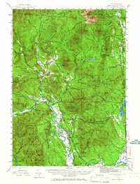
1942 Map of North Conway
USGS Topo · Published 1966About this map
The Boston and Maine Railroad follows the winding path of the Saco River through the heart of this 1942 landscape, connecting the growing village of North Conway with established settlements like Intervale, Glen, and the granite-quarrying community of Redstone. The map illustrates a region transitioning from its early settlement roots to a destination for recreation, with early trails like the Baldface Circle Trail and various fire towers, including the Davis Memorial Tower, appearing alongside local landmarks. To the north, the township of Jackson is surrounded by peaks such as Black Mtn and Eagle Mtn, while the eastern border with Maine shows the rural character of Chatham and the Eastman Sch. Large protected areas, including the White Mountain National Forest and Merriman State Forest, dominate the high terrain, preserving the watershed that feeds the Ellis River and Wild River.
Find a feature on this map
110 named features on this map. Tap any name to fly to it.
Don’t see what you’re looking for? This feature index may not catch every label — zoom into the map to look around manually.
Map Details
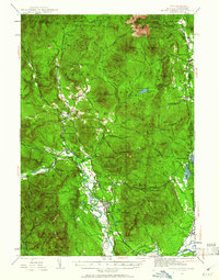
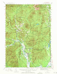
Editions of this 1942 North Conway Map
4 editions found

Other maps of this area

1893 · Mt. Washington
USGS Topo · 1:62,500

1893 · Gorham
USGS Topo · 1:62,500

1894 · North Conway
USGS Topo · 1:62,500

1895 · Crawford Notch
USGS Topo · 1:62,500

1896 · Mt. Washington
USGS Topo · 1:62,500

1896 · Crawford Notch
USGS Topo · 1:62,500

1896 · North Conway
USGS Topo · 1:62,500

1896 · Gorham
USGS Topo · 1:62,500

1909 · Fryeburg
USGS Topo · 1:62,500

1910 · Kezar Falls
USGS Topo · 1:48,000