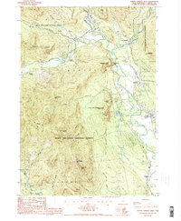
1987 Map of North Conway West
USGS Topo · Published 1987About this map
The confluence of the Saco River and Ellis River anchors this landscape in the late 1980s, revealing a corridor of tourism and mountain geography. The map illustrates the concentrated development around North Conway and Intervale, where a Hospital, Golf Course, and numerous landmarks serve a region deeply integrated with its recreational surroundings. Significant preservation efforts are evident in the sprawling White Mountain National Forest and specialized sites like Echo Lake-Cathedral Ledge State Park, which protect dramatic formations such as White Horse Ledge and Cathedral Ledge. The map also captures smaller railroad-era footprints at Cooks Crossing and Rogers Crossing. To the south and west, the terrain rises sharply toward North Moat Mtn and Big Attitash Mtn, defining the western edge of the Conway valley before dropping toward the Swift River in Albany.
Find a feature on this map
54 named features on this map. Tap any name to fly to it.
Don’t see what you’re looking for? This feature index may not catch every label — zoom into the map to look around manually.
Map Details
Editions of this 1987 North Conway West Map
2 editions found
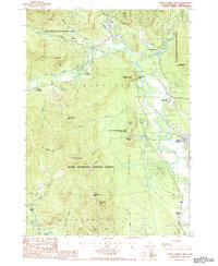
Other maps of this area

1894 · North Conway
USGS Topo · 1:62,500

1895 · Crawford Notch
USGS Topo · 1:62,500

1896 · Crawford Notch
USGS Topo · 1:62,500

1896 · North Conway
USGS Topo · 1:62,500

1930 · Ossipee Lake
USGS Topo · 1:62,500

1931 · Mt. Chocorua
USGS Topo · 1:62,500

1942 · North Conway
USGS Topo · 1:62,500

1945 · North Conway
USGS Topo · 1:62,500

1946 · Crawford Notch
USGS Topo · 1:62,500

1949 · Portland
USGS Topo · 1:250,000