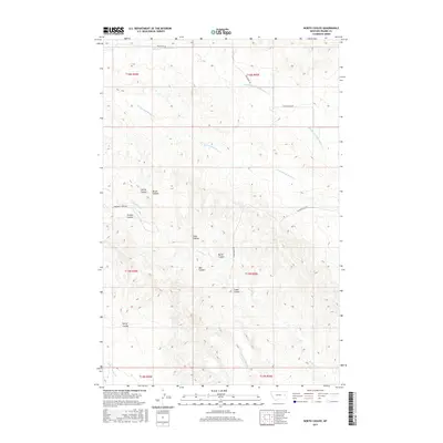
2017 Map of North Coulee
USGS Topo · Published 2017About this map
North Coulee and the surrounding drainage basins of Prairie County define this expansive landscape of the eastern Montana plains. The terrain is deeply carved by a network of seasonal watercourses, including the Middle Fork Bad Route Cr and the W Fork Bad Route Cr in the north, while Brackett Cr and its tributaries like W Fork Brackett Cr wind through the central and southern sections. These drainages have created numerous named features such as Spring Coulee, Timber Coulee, and Ash Coulee, which serve as primary landmarks for navigation in an area with few man-made structures.
Find a feature on this map
22 named features on this map. Tap any name to fly to it.
Don’t see what you’re looking for? This feature index may not catch every label — zoom into the map to look around manually.
Map Details
Editions of this 2017 North Coulee Map
This is the sole edition of this map. No revisions or reprints were ever made.
Other maps of this area

1953 · Miles City
USGS Topo · 1:250,000

1954 · Glendive
USGS Topo · 1:250,000

1957 · Miles City
USGS Topo · 1:250,000

1957 · Glendive
USGS Topo · 1:250,000

1958 · Miles City
USGS Topo · 1:250,000

1958 · Glendive
USGS Topo · 1:250,000

1972 · Papps Reservoir
USGS Topo · 1:24,000

1972 · Diamond G Creek
USGS Topo · 1:24,000

1972 · Mc Cloud
USGS Topo · 1:24,000

1980 · Terry
USGS Topo · 1:100,000