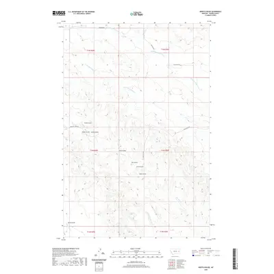
2020 Map of North Coulee
USGS Topo · Published 2020About this map
North Coulee and its neighboring ravines define this section of the Prairie County landscape, where the drainage systems of the Yellowstone River basin have carved distinct patterns into the earth. The area is characterized by a series of named coulees, including Brush Coulee, Timber Coulee, and Ash Coulee, which serve as natural landmarks in a region defined by its complex topography. These features indicate a history of seasonal water flow and erosion that has shaped the local land use and transit.
Find a feature on this map
22 named features on this map. Tap any name to fly to it.
Don’t see what you’re looking for? This feature index may not catch every label — zoom into the map to look around manually.
Map Details
Editions of this 2020 North Coulee Map
This is the sole edition of this map. No revisions or reprints were ever made.
Other maps of this area

1953 · Miles City
USGS Topo · 1:250,000

1954 · Glendive
USGS Topo · 1:250,000

1957 · Miles City
USGS Topo · 1:250,000

1957 · Glendive
USGS Topo · 1:250,000

1958 · Miles City
USGS Topo · 1:250,000

1958 · Glendive
USGS Topo · 1:250,000

1972 · Papps Reservoir
USGS Topo · 1:24,000

1972 · Diamond G Creek
USGS Topo · 1:24,000

1972 · Mc Cloud
USGS Topo · 1:24,000

1980 · Terry
USGS Topo · 1:100,000