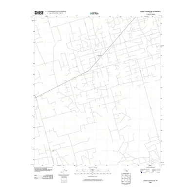
2010 Map of North Cowden NW
USGS Topo · Published 2010About this map
The Fuhrman Mascho Oil Field and Embar Oil Field dominate this corner of Andrews County, illustrating the intensive industrial development characteristic of the Permian Basin. This landscape is defined by a dense, geometric grid of access roads, including Sw 5001, Sw 4000, and Sw 5000, which serve the various well sites and infrastructure of the regional energy sector. Apart from the industrial footprints, the area is traversed by S Fm 181, providing a primary north-south artery through this sparsely populated but highly productive territory. The map reveals the intricate network of secondary routes like Sw 2000 and SW 6001 that facilitate the operation of the oil fields, showing how human engineering has systematically partitioned the West Texas terrain for resource extraction.
Find a feature on this map
11 named features on this map. Tap any name to fly to it.
Don’t see what you’re looking for? This feature index may not catch every label — zoom into the map to look around manually.
Map Details
Editions of this 2010 North Cowden NW Map
This is the sole edition of this map. No revisions or reprints were ever made.
Other maps of this area

1954 · Hobbs
USGS Topo · 1:250,000

1958 · Hobbs
USGS Topo · 1:250,000

1963 · Andrews
USGS Topo · 1:24,000

1967 · North Cowden
USGS Topo · 1:24,000

1968 · Coyote Corner
USGS Topo · 1:24,000

1968 · North Cowden NW
USGS Topo · 1:24,000

1968 · Clabber Hill Ranch
USGS Topo · 1:24,000

1971 · Whalen Lake
USGS Topo · 1:24,000

1971 · Bedford Ranch
USGS Topo · 1:24,000

1971 · Sand Ranch
USGS Topo · 1:24,000