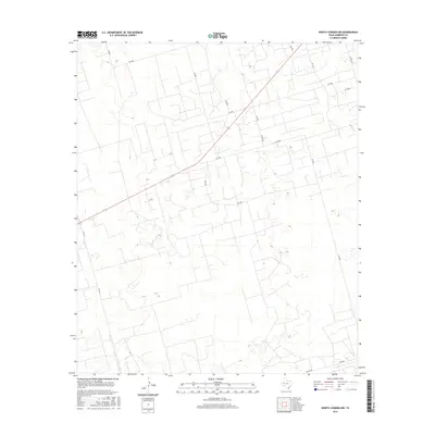
2016 Map of North Cowden NW
USGS Topo · Published 2016About this map
State highway S Fm 181 cuts a diagonal path through the high plains of Andrews County, serving as the primary corridor through this industrial and ranching landscape. The terrain is defined by a dense, geometric network of local roads and lease tracks, including Sw 2000, Sw 4000, and Sw 5000, which weave between numerous small depressions and basins. This intricate grid reflects the heavy infrastructure required for modern resource extraction in the Permian Basin, where historical cattle ranching often overlaps with energy development. Toward the southern end of the quadrangle, Co Rd 7000 and Sw 7000 anchor the local transportation network. The absence of traditional town centers highlights the region's character as a specialized work landscape, where the geography is organized by access to specific sites rather than centralized settlement.
Find a feature on this map
17 named features on this map. Tap any name to fly to it.
Don’t see what you’re looking for? This feature index may not catch every label — zoom into the map to look around manually.
Map Details
Editions of this 2016 North Cowden NW Map
This is the sole edition of this map. No revisions or reprints were ever made.
Other maps of this area

1954 · Hobbs
USGS Topo · 1:250,000

1958 · Hobbs
USGS Topo · 1:250,000

1963 · Andrews
USGS Topo · 1:24,000

1967 · North Cowden
USGS Topo · 1:24,000

1968 · Coyote Corner
USGS Topo · 1:24,000

1968 · North Cowden NW
USGS Topo · 1:24,000

1968 · Clabber Hill Ranch
USGS Topo · 1:24,000

1971 · Whalen Lake
USGS Topo · 1:24,000

1971 · Bedford Ranch
USGS Topo · 1:24,000

1971 · Sand Ranch
USGS Topo · 1:24,000