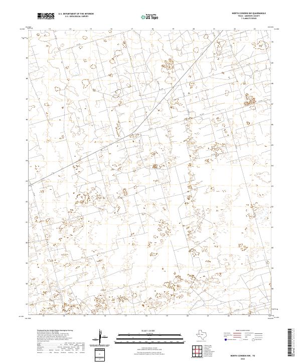
2022 Map of North Cowden NW
USGS Topo · Published 2022About this map
State highway S Fm 181 cuts through the western portion of this Andrews County landscape, reflecting the modern infrastructure of the Permian Basin. This terrain is defined by a dense grid of service roads and section lines, including Sw 4000 and Sw 5500, which facilitate movement across the arid plains. The intersection of county-maintained routes like Co Rd 4501 and local thoroughfares such as Sw 2000 reveals a territory organized for intensive industrial and agricultural use. Numerous depressions and ephemeral water features dot the landscape between the roads, typical of the high plains drainage patterns in this part of Texas. The absence of traditional town centers highlights the area's role as a working landscape, where the road network itself—connecting routes like Co Rd 7000—is the primary indicator of human activity and land management.
Find a feature on this map
16 named features on this map. Tap any name to fly to it.
Don’t see what you’re looking for? This feature index may not catch every label — zoom into the map to look around manually.
Map Details
Editions of this 2022 North Cowden NW Map
This is the sole edition of this map. No revisions or reprints were ever made.
Other maps of this area

1954 · Hobbs
USGS Topo · 1:250,000

1958 · Hobbs
USGS Topo · 1:250,000

1963 · Andrews
USGS Topo · 1:24,000

1967 · North Cowden
USGS Topo · 1:24,000

1968 · Coyote Corner
USGS Topo · 1:24,000

1968 · North Cowden NW
USGS Topo · 1:24,000

1968 · Clabber Hill Ranch
USGS Topo · 1:24,000

1971 · Whalen Lake
USGS Topo · 1:24,000

1971 · Bedford Ranch
USGS Topo · 1:24,000

1971 · Sand Ranch
USGS Topo · 1:24,000