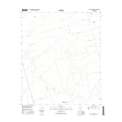
2016 Map of North Curtis Ranch
USGS Topo · Published 2016About this map
North Curtis Ranch serves as a primary landmark in this ranching landscape north of Midland, where the terrain is defined by the ephemeral passage of Mustang Draw. The map documents a sparsely populated corner of the Permian Basin, characterized by a geometric grid of county and private ranch roads such as Co Rd 3200 and Lazy Ranch Rd. This network of local connectors, including N Fm 1212 and Prc 2600, illustrates the modern logistical infrastructure required to manage the expansive holdings of West Texas. The elevation rises slightly toward the northeast at Range Hill, providing a subtle break in the otherwise consistent topography of the High Plains. The abundance of small depressions and seasonal water catchments across the quadrangle reflects the area's typical drainage patterns during the brief but heavy rain events common to this semi-arid region.
Find a feature on this map
14 named features on this map. Tap any name to fly to it.
Don’t see what you’re looking for? This feature index may not catch every label — zoom into the map to look around manually.
Map Details
Editions of this 2016 North Curtis Ranch Map
This is the sole edition of this map. No revisions or reprints were ever made.
Other maps of this area

1954 · Hobbs
USGS Topo · 1:250,000

1954 · Big Spring
USGS Topo · 1:250,000

1958 · Big Spring
USGS Topo · 1:250,000

1958 · Hobbs
USGS Topo · 1:250,000

1965 · Northeast Midland
USGS Topo · 1:24,000

1966 · Lenorah West
USGS Topo · 1:24,000

1966 · Mabee Ranch
USGS Topo · 1:24,000

1966 · Flynt Ranch
USGS Topo · 1:24,000

1966 · Bird Ranch
USGS Topo · 1:24,000
1966 · Germania
USGS Topo · 1:24,000