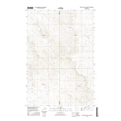
2017 Map of North Fork Alkali Creek
USGS Topo · Published 2017About this map
The Miles City Cutoff and RD 428 provide the primary infrastructure through this sparsely populated section of the Montana high plains along the Custer Co and Carter Co boundary. The landscape is defined by an intricate network of drainages that flow through the undulating terrain, including the North Fork Alkali Creek and Alkali Creek in the southern portion of the quadrangle. Further north, the terrain is carved by Straight Creek, Antelope Creek, and Trail Creek. This 2017 survey illustrates the enduring rural character of the region, where land use is dictated by the natural watercourses like Big Tepee Creek and Dugout Creek. The map provides a precise record of the road system and topographical features that have served as landmarks for generations of ranchers and travelers moving toward Miles City.
Find a feature on this map
12 named features on this map. Tap any name to fly to it.
Don’t see what you’re looking for? This feature index may not catch every label — zoom into the map to look around manually.
Map Details
Editions of this 2017 North Fork Alkali Creek Map
This is the sole edition of this map. No revisions or reprints were ever made.
Other maps of this area

1953 · Miles City
USGS Topo · 1:250,000

1954 · Ekalaka
USGS Topo · 1:250,000

1956 · Ekalaka
USGS Topo · 1:250,000

1957 · Miles City
USGS Topo · 1:250,000

1958 · Miles City
USGS Topo · 1:250,000

1958 · Ekalaka
USGS Topo · 1:250,000

1965 · Ekalaka
USGS Topo · 1:250,000

1969 · Tepee Butte NE
USGS Topo · 1:24,000

1969 · Tepee Butte
USGS Topo · 1:24,000

1979 · Blacktail Creek NW
USGS Topo · 1:24,000