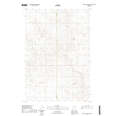
2020 Map of North Fork Alkali Creek
USGS Topo · Published 2020About this map
The Miles City Cutoff winds through the high plains of southeast Montana, following the natural contours of a landscape defined by an intricate network of seasonal drainage. Straddling the boundary of Custer and Carter counties, this area is centered on the headwaters of numerous small creeks that feed into the larger regional basins. The terrain is characterized by a dense system of coulees and ridges, where Big Tepee Cr and Straight Cr carve paths through the western sections, while Antelope Cr and Hay Cr drain the eastern slopes.
Find a feature on this map
16 named features on this map. Tap any name to fly to it.
Don’t see what you’re looking for? This feature index may not catch every label — zoom into the map to look around manually.
Map Details
Editions of this 2020 North Fork Alkali Creek Map
This is the sole edition of this map. No revisions or reprints were ever made.
Other maps of this area

1953 · Miles City
USGS Topo · 1:250,000

1954 · Ekalaka
USGS Topo · 1:250,000

1956 · Ekalaka
USGS Topo · 1:250,000

1957 · Miles City
USGS Topo · 1:250,000

1958 · Miles City
USGS Topo · 1:250,000

1958 · Ekalaka
USGS Topo · 1:250,000

1965 · Ekalaka
USGS Topo · 1:250,000

1969 · Tepee Butte NE
USGS Topo · 1:24,000

1969 · Tepee Butte
USGS Topo · 1:24,000

1979 · Blacktail Creek NW
USGS Topo · 1:24,000