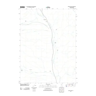
2012 Map of North Fork
USGS Topo · Published 2012About this map
The North Fork Humboldt River carves a winding path through this high desert ranching country in northern Elko County. The map documents a sparse but enduring network of family holdings and homesteads, including Truett Ranch, Laing Ranch, and Bellinger Ranch, many of which are situated near critical water sources like Truett Spring or the tributary waters of Sheep Creek and Pratt Creek.
Find a feature on this map
21 named features on this map. Tap any name to fly to it.
Don’t see what you’re looking for? This feature index may not catch every label — zoom into the map to look around manually.
Map Details
Editions of this 2012 North Fork Map
This is the sole edition of this map. No revisions or reprints were ever made.
Other maps of this area

1935 · Charleston
USGS Topo · 1:48,000

1942 · Mt. Velma
USGS Topo · 1:62,500

1955 · Wells
USGS Topo · 1:250,000

1956 · Wild Horse
USGS Topo · 1:62,500

1958 · Wells
USGS Topo · 1:250,000

1961 · Wells
USGS Topo · 1:250,000

1971 · Mahala Creek West
USGS Topo · 1:24,000

1971 · Double Mtn
USGS Topo · 1:24,000

1971 · North Fork
USGS Topo · 1:24,000

1971 · California Mtn.
USGS Topo · 1:24,000