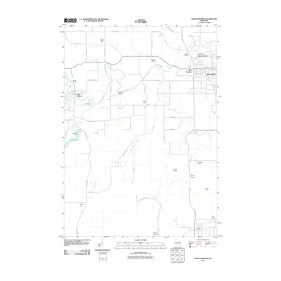
2010 Map of North Freedom
USGS Topo · Published 2010About this map
The Baraboo River carves a winding path through this Sauk County landscape, connecting the communities of North Freedom and West Baraboo. The map reveals a deeply etched topography of hollows and ridges, from Hoot Owl Hollow in the north to the protected terrain of Baxters Hollow in the south. This area is characterized by its numerous family and community landmarks, including half a dozen burial grounds such as Oak Hill Cemetery and Miller Cemetery, which offer valuable points of reference for local historians.
Find a feature on this map
55 named features on this map. Tap any name to fly to it.
Don’t see what you’re looking for? This feature index may not catch every label — zoom into the map to look around manually.
Map Details
Editions of this 2010 North Freedom Map
This is the sole edition of this map. No revisions or reprints were ever made.
Other maps of this area

1895 · Baraboo
USGS Topo · 1:62,500

1901 · Denzer
USGS Topo · 1:62,500

1901 · The Dells
USGS Topo · 1:62,500

1902 · Briggsville
USGS Topo · 1:62,500

1908 · Baraboo
USGS Topo · 1:62,500

1957 · Wisconsin Dells
USGS Topo · 1:62,500

1957 · Madison
USGS Topo · 1:250,000

1958 · Briggsville
USGS Topo · 1:62,500

1958 · North Freedom
USGS Topo · 1:62,500

1959 · Baraboo
USGS Topo · 1:62,500