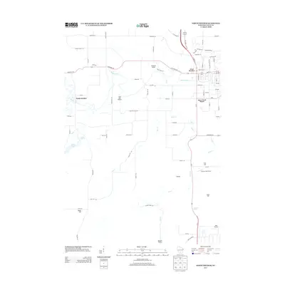
2013 Map of North Freedom
USGS Topo · Published 2013About this map
North Freedom and the western outskirts of Baraboo anchor this landscape, where the Baraboo River carves a winding path through the valley. This 2013 survey documents the transition from residential developments like Black Hawk Manor to the agricultural and recreational lands of Sauk County. A notable concentration of natural and cultivated features defines the southern half of the map, including the Ski-Hi Fruit Farm and the scenic Skillet Falls along Skillet Cr.
Find a feature on this map
80 named features on this map. Tap any name to fly to it.
Don’t see what you’re looking for? This feature index may not catch every label — zoom into the map to look around manually.
Map Details
Editions of this 2013 North Freedom Map
This is the sole edition of this map. No revisions or reprints were ever made.
Other maps of this area

1895 · Baraboo
USGS Topo · 1:62,500

1901 · Denzer
USGS Topo · 1:62,500

1901 · The Dells
USGS Topo · 1:62,500

1902 · Briggsville
USGS Topo · 1:62,500

1908 · Baraboo
USGS Topo · 1:62,500

1957 · Wisconsin Dells
USGS Topo · 1:62,500

1957 · Madison
USGS Topo · 1:250,000

1958 · Briggsville
USGS Topo · 1:62,500

1958 · North Freedom
USGS Topo · 1:62,500

1959 · Baraboo
USGS Topo · 1:62,500