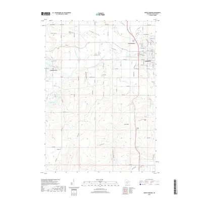
2018 Map of North Freedom
USGS Topo · Published 2018About this map
Baraboo and its western neighbors are defined by the winding course of the Baraboo River and the dramatic topography of the South Range. This 2018 survey documents the interface between the growing residential streets of West Baraboo and the deeply carved valleys of the driftless region, such as Baxters Hollow and Hoot Owl Hollow. The landscape is dotted with several rural burial grounds, including Oak Hill Cem and Rock Hill Cem, which serve as vital touchstones for local family history and genealogy research.
Find a feature on this map
96 named features on this map. Tap any name to fly to it.
Don’t see what you’re looking for? This feature index may not catch every label — zoom into the map to look around manually.
Map Details
Editions of this 2018 North Freedom Map
This is the sole edition of this map. No revisions or reprints were ever made.
Other maps of this area

1895 · Baraboo
USGS Topo · 1:62,500

1901 · Denzer
USGS Topo · 1:62,500

1901 · The Dells
USGS Topo · 1:62,500

1902 · Briggsville
USGS Topo · 1:62,500

1908 · Baraboo
USGS Topo · 1:62,500

1957 · Wisconsin Dells
USGS Topo · 1:62,500

1957 · Madison
USGS Topo · 1:250,000

1958 · Briggsville
USGS Topo · 1:62,500

1958 · North Freedom
USGS Topo · 1:62,500

1959 · Baraboo
USGS Topo · 1:62,500