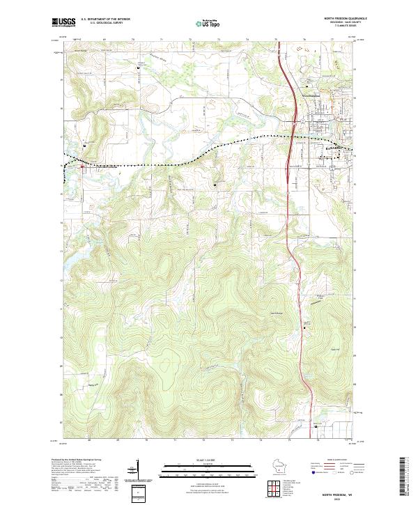
2022 Map of North Freedom
USGS Topo · Published 2022About this map
The Baraboo River carves through the center of this Sauk County landscape, separating the North Range from the South Range. This 2022 survey captures the transition from the concentrated residential streets of Baraboo and West Baraboo into the surrounding agricultural and wooded valleys. Local history is deeply etched into the land through numerous burial grounds such as Saint Michaels Cem, Rock Hill Cem, and Oak Hill Cem, each serving as a marker for the rural communities that settled these ridges.
Find a feature on this map
106 named features on this map. Tap any name to fly to it.
Don’t see what you’re looking for? This feature index may not catch every label — zoom into the map to look around manually.
Map Details
Editions of this 2022 North Freedom Map
This is the sole edition of this map. No revisions or reprints were ever made.
Other maps of this area

1895 · Baraboo
USGS Topo · 1:62,500

1901 · Denzer
USGS Topo · 1:62,500

1901 · The Dells
USGS Topo · 1:62,500

1902 · Briggsville
USGS Topo · 1:62,500

1908 · Baraboo
USGS Topo · 1:62,500

1957 · Wisconsin Dells
USGS Topo · 1:62,500

1957 · Madison
USGS Topo · 1:250,000

1958 · Briggsville
USGS Topo · 1:62,500

1958 · North Freedom
USGS Topo · 1:62,500

1959 · Baraboo
USGS Topo · 1:62,500