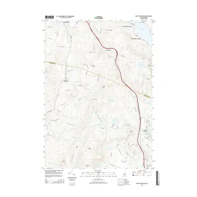
2015 Map of North Grantham
USGS Topo · Published 2015About this map
Lower Shaker Village and Upper Shaker Village stand as prominent cultural landmarks on the northern edge of this New Hampshire landscape, situated along the shores of Mascoma Lake. The map reveals a transition from the structured settlements of the Shaker community to the dispersed farmsteads and rural junctions of Montcalm and East Plainfield. This 2015 survey details a topography defined by significant peaks such as Croydon Mtn and Grantham Mtn, where numerous small water bodies like Lily Pond and Miller Pond dot the high elevations. For the local historian, the presence of the Shaker Cem, Purmort Cem, and Gleason Cem provides specific points for genealogical research. The road network, including the historic Croydon Tpk Rd, illustrates the long-standing transport corridors through the Grafton Co and Sullivan Co borderlands.
Find a feature on this map
94 named features on this map. Tap any name to fly to it.
Don’t see what you’re looking for? This feature index may not catch every label — zoom into the map to look around manually.
Map Details
Editions of this 2015 North Grantham Map
This is the sole edition of this map. No revisions or reprints were ever made.
Other maps of this area

1902 · Sunapee
USGS Topo · 1:62,500

1905 · Sunapee
USGS Topo · 1:62,500

1906 · Hanover
USGS Topo · 1:62,500

1907 · Sunapee
USGS Topo · 1:62,500

1908 · Hanover
USGS Topo · 1:62,500

1926 · Claremont
USGS Topo · 1:62,500

1927 · Mascoma
USGS Topo · 1:62,500

1929 · Claremont
USGS Topo · 1:62,500

1932 · Mascoma
USGS Topo · 1:62,500

1950 · Glens Falls
USGS Topo · 1:250,000