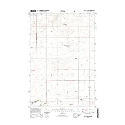
2014 Map of North Ironwood
USGS Topo · Published 2014About this map
Lake Superior dominates the northern horizon of this 2014 survey along the Michigan-Wisconsin border. The landscape is defined by the dense woodlands of the Ottawa National Forest, where numerous waterways like Montreal Cr, Triplett Cr, and Spirit Cr drain toward the Great Lake. In the southern portion of the quadrangle, the terrain opens into a network of rural roads and small settlements that reflect the area's local history. The community of North Ironwood sits near the Gogebic-Iron County Airport, while the hamlet of Junet is located further west along the Montreal River. This map captures a specific moment in the evolution of these borderland communities, showing the established grid of family-named routes such as Niemi Ln, Vanderhagen Rd, and Piilola Rd that connect the isolated homesteads and corners.
Find a feature on this map
46 named features on this map. Tap any name to fly to it.
Don’t see what you’re looking for? This feature index may not catch every label — zoom into the map to look around manually.
Map Details
Editions of this 2014 North Ironwood Map
This is the sole edition of this map. No revisions or reprints were ever made.
Other maps of this area

1940 · Upson
USGS Topo · 1:48,000

1943 · Little Girls Point
USGS Topo · 1:24,000

1943 · Upson
USGS Topo · 1:48,000

1943 · Ironwood
USGS Topo · 1:48,000

1943 · Little Girl Point
USGS Topo · 1:48,000

1953 · Ashland
USGS Topo · 1:250,000

1955 · Ironwood
USGS Topo · 1:24,000

1955 · Bessemer
USGS Topo · 1:24,000

1955 · Ironwood
USGS Topo · 1:62,500

1956 · North Ironwood
USGS Topo · 1:62,500