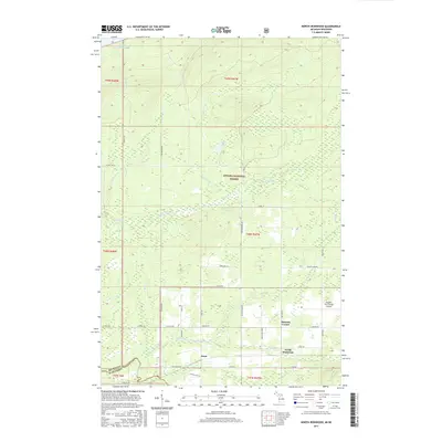
2017 Map of North Ironwood
USGS Topo · Published 2017About this map
The shore of Lake Superior defines the northern edge of this landscape, where the cold waters meet a terrain carved by numerous north-flowing drainages. Small settlements like North Ironwood and Junet are positioned along the southern half of the map, connected by a network of local roads such as Vanderhagen Rd and Airport Rd. The Ottawa National Forest occupies a significant portion of the central township, preserving a dense woodland environment surrounding Spirit Lake and Mud Creek.
Find a feature on this map
46 named features on this map. Tap any name to fly to it.
Don’t see what you’re looking for? This feature index may not catch every label — zoom into the map to look around manually.
Map Details
Editions of this 2017 North Ironwood Map
This is the sole edition of this map. No revisions or reprints were ever made.
Other maps of this area

1940 · Upson
USGS Topo · 1:48,000

1943 · Little Girls Point
USGS Topo · 1:24,000

1943 · Upson
USGS Topo · 1:48,000

1943 · Ironwood
USGS Topo · 1:48,000

1943 · Little Girl Point
USGS Topo · 1:48,000

1953 · Ashland
USGS Topo · 1:250,000

1955 · Ironwood
USGS Topo · 1:24,000

1955 · Bessemer
USGS Topo · 1:24,000

1955 · Ironwood
USGS Topo · 1:62,500

1956 · North Ironwood
USGS Topo · 1:62,500