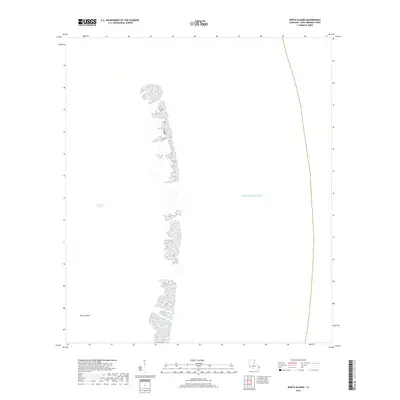
2018 Map of North Islands
USGS Topo · Published 2018About this map
North Islands form a narrow, fragmented chain of barrier landforms in this 2018 survey of Saint Bernard Parish. These features separate the relatively sheltered waters of Chandeleur Sound from the open Gulf of Mexico. The map illustrates a landscape defined by coastal processes, where small, stippled land masses are all that remain of this northern section of the archipelago. There are no roads, buildings, or human-made structures indicated on these islands, emphasizing the maritime nature of this territory. The mapping provides a technical record of the shoreline geometry and wetland distribution during the late 2010s, capturing the shifting relationship between the sound and the sea.
Find a feature on this map
3 named features on this map. Tap any name to fly to it.
Don’t see what you’re looking for? This feature index may not catch every label — zoom into the map to look around manually.
Map Details
Editions of this 2018 North Islands Map
This is the sole edition of this map. No revisions or reprints were ever made.
Other maps of this area

1941 · Horn Island
USGS Topo · 1:62,500

1942 · Horn Island
USGS Topo · 1:62,500

1951 · North Islands
USGS Topo · 1:24,000

1951 · New Harbor Islands
USGS Topo · 1:24,000

1951 · Chandeleur Light
USGS Topo · 1:24,000

1953 · Mobile
USGS Topo · 1:250,000

1957 · Mobile
USGS Topo · 1:250,000

1957 · Breton Sound
USGS Topo · 1:250,000

1960 · Mobile
USGS Topo · 1:250,000

1961 · Breton Sound
USGS Topo · 1:250,000