
1951 Map of North Islands
USGS Topo · Published 1958About this map
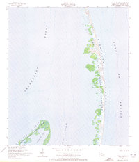
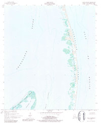
Chandeleur Islands form a slender, shifting crescent of land on this 1951 survey, serving as a critical boundary between the open Gulf of Mexico and the sheltered waters of the Chandeleur Sound. The map captures the complex, fragmented shoreline of the Breton National Wildlife Refuge, illustrating a coastal landscape defined by small inlets and marshy outcrops. The northern reach of the archipelago, designated as the North Islands, shows a terrain dominated by sand and coastal vegetation. Navigation through these remote waters is marked by features like Smack Channel and the protected pocket of Shoalwater Bay, providing a detailed view of the Louisiana coast before decades of major storm events altered these fragile barrier islands.
Find a feature on this map
7 named features on this map. Tap any name to fly to it.
Don’t see what you’re looking for? This feature index may not catch every label — zoom into the map to look around manually.
Map Details
Editions of this 1951 North Islands Map
3 editions found
Other maps of this area

1951 · New Harbor Islands
USGS Topo · 1:24,000
1951 · Freemason Island
USGS Topo · 1:24,000

1951 · Chandeleur Light
USGS Topo · 1:24,000

1953 · Mobile
USGS Topo · 1:250,000

1957 · Mobile
USGS Topo · 1:250,000

1957 · Breton Sound
USGS Topo · 1:250,000

1960 · Mobile
USGS Topo · 1:250,000

1961 · Breton Sound
USGS Topo · 1:250,000

1963 · Mobile
USGS Topo · 1:250,000

1965 · Mobile
USGS Topo · 1:250,000