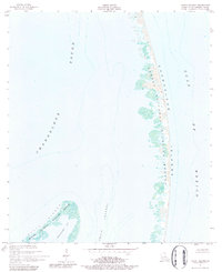
1951 Map of North Islands
USGS Topo · Published 1984About this map
The Breton National Wildlife Refuge encompasses the fragile, shifting landscapes of the North Islands and a portion of the Chandeleur Islands in this early 1950s survey. Located in St. Bernard Parish, this maritime environment is defined by the separation of the sheltered Chandeleur Sound and Shoalwater Bay from the open Gulf of Mexico. The map reflects a period before significant coastal erosion and storm cycles further altered these barrier islands, which serve as critical habitats and protective buffers for the Louisiana mainland.
Find a feature on this map
7 named features on this map. Tap any name to fly to it.
Don’t see what you’re looking for? This feature index may not catch every label — zoom into the map to look around manually.
Map Details
Editions of this 1951 North Islands Map
3 editions found
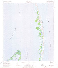
Other maps of this area

1951 · North Islands
USGS Topo · 1:24,000

1951 · New Harbor Islands
USGS Topo · 1:24,000
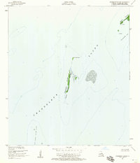
1951 · Freemason Island
USGS Topo · 1:24,000

1951 · Chandeleur Light
USGS Topo · 1:24,000

1953 · Mobile
USGS Topo · 1:250,000

1957 · Mobile
USGS Topo · 1:250,000

1957 · Breton Sound
USGS Topo · 1:250,000

1960 · Mobile
USGS Topo · 1:250,000

1961 · Breton Sound
USGS Topo · 1:250,000

1963 · Mobile
USGS Topo · 1:250,000