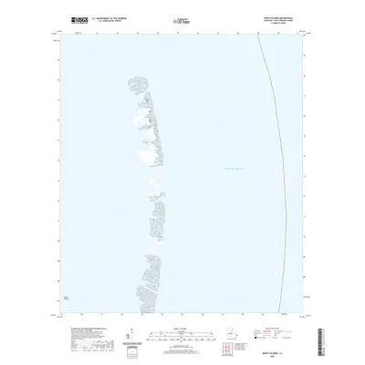
2020 Map of North Islands
USGS Topo · Published 2020About this map
The North Islands form a narrow, fragmented chain of barrier landforms within the Gulf of Mexico in Saint Bernard Parish. This 2020 topographic survey documents the delicate and shifting nature of these coastal features, which are vital to the barrier island system protecting the Louisiana coastline. The map illustrates a series of small, elongated spits and sandbars that comprise the archipelago, separated by shallow tidal inlets. In this remote maritime environment, the land-to-water ratio is heavily weighted toward the sea, highlighting the vulnerability of these low-lying landforms to storm surges and coastal erosion. There are no man-made structures or settlements shown on these islands, emphasizing their role as primitive natural habitats and navigational markers for those traversing the outer reaches of the parish.
Find a feature on this map
2 named features on this map. Tap any name to fly to it.
Don’t see what you’re looking for? This feature index may not catch every label — zoom into the map to look around manually.
Map Details
Editions of this 2020 North Islands Map
This is the sole edition of this map. No revisions or reprints were ever made.
Other maps of this area

1941 · Horn Island
USGS Topo · 1:62,500

1942 · Horn Island
USGS Topo · 1:62,500

1951 · North Islands
USGS Topo · 1:24,000

1951 · New Harbor Islands
USGS Topo · 1:24,000

1951 · Chandeleur Light
USGS Topo · 1:24,000

1953 · Mobile
USGS Topo · 1:250,000

1957 · Mobile
USGS Topo · 1:250,000

1957 · Breton Sound
USGS Topo · 1:250,000

1960 · Mobile
USGS Topo · 1:250,000

1961 · Breton Sound
USGS Topo · 1:250,000