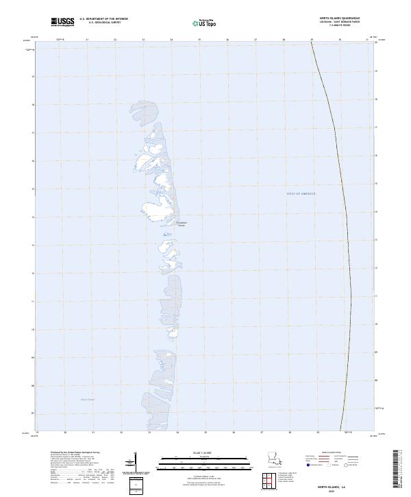
2025 Map of North Islands
USGS Topo · Published 2025About this map
Chandeleur Islands stretch through the waters of the Gulf of America in this remote maritime survey of Saint Bernard Parish. The map reveals a fragmented landscape of sand and marsh as it appeared in the early 2020s, showing a thin crescent of land disconnected from the mainland. This environment is defined by its shifting shoals and the prominent passage of Smack Channel to the south. Because these islands are highly susceptible to coastal erosion and storm surges, the document provides a critical look at the shoreline's configuration at this specific point in time. It serves as a grounded record for those studying the physical evolution of the Louisiana coast, capturing the exact footprint of these barrier features before further environmental changes occur.
Find a feature on this map
3 named features on this map. Tap any name to fly to it.
Don’t see what you’re looking for? This feature index may not catch every label — zoom into the map to look around manually.
Map Details
Editions of this 2025 North Islands Map
This is the sole edition of this map. No revisions or reprints were ever made.
Other maps of this area

1941 · Horn Island
USGS Topo · 1:62,500

1942 · Horn Island
USGS Topo · 1:62,500

1951 · North Islands
USGS Topo · 1:24,000

1951 · New Harbor Islands
USGS Topo · 1:24,000

1951 · Chandeleur Light
USGS Topo · 1:24,000

1953 · Mobile
USGS Topo · 1:250,000

1957 · Mobile
USGS Topo · 1:250,000

1957 · Breton Sound
USGS Topo · 1:250,000

1960 · Mobile
USGS Topo · 1:250,000

1961 · Breton Sound
USGS Topo · 1:250,000