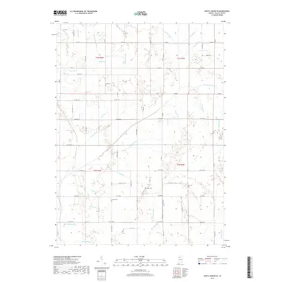
2019 Map of North Judson SE
USGS Topo · Published 2019About this map
Pulaski County's rural landscape is defined by an extensive network of drainage channels that manage the low-lying terrain of northern Indiana. Large-scale water management projects like the Big Monon Ditch and Lincoln Ditch crisscross the townships, fundamentally shaping the agricultural potential of the region. These engineered waterways, including the uniquely named Stromberg-Tetzloff Ditch and Stelter Ditch, follow the section lines and natural contours to facilitate farming in what was historically a more wetland-heavy environment. Small family and community burial sites are preserved amidst the fields, including Sutton Cem in the north and Idle Cem and Kosters Cem further south. The map provides a clear view of the rectilinear road grid, anchored by W State Rd 14, which connects the scattered farmsteads and rural residences that characterize the area's twentieth and twenty-first-century settlement patterns.
Find a feature on this map
75 named features on this map. Tap any name to fly to it.
Don’t see what you’re looking for? This feature index may not catch every label — zoom into the map to look around manually.
Map Details
Editions of this 2019 North Judson SE Map
This is the sole edition of this map. No revisions or reprints were ever made.
Other maps of this area

1953 · Chicago
USGS Topo · 1:250,000

1953 · Danville
USGS Topo · 1:250,000

1955 · Danville
USGS Topo · 1:250,000

1956 · Danville
USGS Topo · 1:250,000

1957 · Chicago
USGS Topo · 1:250,000

1959 · North Judson
USGS Topo · 1:24,000

1959 · San Pierre
USGS Topo · 1:24,000

1962 · Buffalo
USGS Topo · 1:24,000

1962 · Monon NE
USGS Topo · 1:24,000

1962 · Medaryville
USGS Topo · 1:24,000