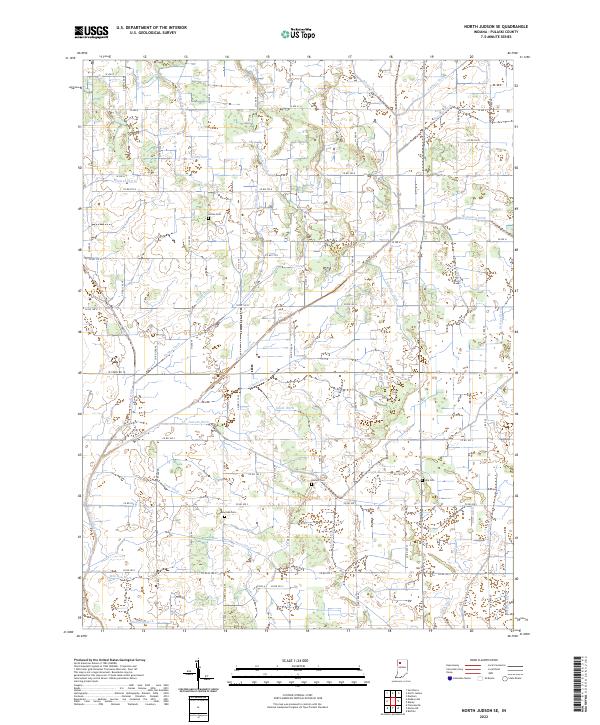
2022 Map of North Judson SE
USGS Topo · Published 2022About this map
Agricultural drainage systems define this section of Pulaski County, Indiana, where a complex network of man-made waterways like Big Monon Ditch and Lincoln Ditch has reshaped the natural hydrology. The landscape is structured by a rigid section grid of rural roads, including Co RD 100 N and Co RD 100 S, which connect isolated farmsteads and family burial grounds. These small cemeteries, such as Sutton Cem, Bowman Cem, Idle Cem, and Kosters Cem, provide critical links for genealogists researching the local families who settled this fertile Midwestern prairie. The naming conventions of the waterways—ranging from the Stromberg-Tetzloff Ditch to the Stout-Hodge Ditch—frequently reflect the surnames of the landowners responsible for the region's massive engineering efforts to manage surface water and support industrial-scale farming operations.
Find a feature on this map
79 named features on this map. Tap any name to fly to it.
Don’t see what you’re looking for? This feature index may not catch every label — zoom into the map to look around manually.
Map Details
Editions of this 2022 North Judson SE Map
This is the sole edition of this map. No revisions or reprints were ever made.
Other maps of this area

1953 · Chicago
USGS Topo · 1:250,000

1953 · Danville
USGS Topo · 1:250,000

1955 · Danville
USGS Topo · 1:250,000

1956 · Danville
USGS Topo · 1:250,000

1957 · Chicago
USGS Topo · 1:250,000

1959 · North Judson
USGS Topo · 1:24,000

1959 · San Pierre
USGS Topo · 1:24,000

1962 · Buffalo
USGS Topo · 1:24,000

1962 · Monon NE
USGS Topo · 1:24,000

1962 · Medaryville
USGS Topo · 1:24,000