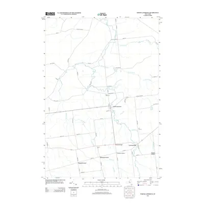
2013 Map of North Lawrence
USGS Topo · Published 2013About this map
North Lawrence serves as the primary hub of this Saint Lawrence County landscape, where the Deer River winds southward toward the neighboring village of Lawrenceville. The settlement pattern is defined by a distinct network of named rural junctions, suggesting a history of multi-generational family landholdings at places like Coteys Corner, McEwens Corner, and Laverys Corner. This 2013 survey provides a detailed view of the area's genealogical landmarks, including the Flint Chaffee Cem and Hallville Cem. The terrain is shaped by numerous watercourses, with Trout Brook and Lawrence Brook carving through the agricultural and wooded tracts. From the local Po on Church St to the southern reach of Taylors Corner, the map documents the persistent rural character of Northern New York.
Find a feature on this map
59 named features on this map. Tap any name to fly to it.
Don’t see what you’re looking for? This feature index may not catch every label — zoom into the map to look around manually.
Map Details
Editions of this 2013 North Lawrence Map
This is the sole edition of this map. No revisions or reprints were ever made.
Other maps of this area

1906 · Massena
USGS Topo · 1:62,500

1907 · Massena
USGS Topo · 1:62,500

1908 · Potsdam
USGS Topo · 1:62,500

1915 · Moira
USGS Topo · 1:62,500

1917 · Moira
USGS Topo · 1:62,500

1919 · Nicholville
USGS Topo · 1:62,500

1921 · Nicholville
USGS Topo · 1:62,500
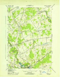
1943 · Parishville
USGS Topo · 1:31,680

1944 · Moira
USGS Topo · 1:62,500
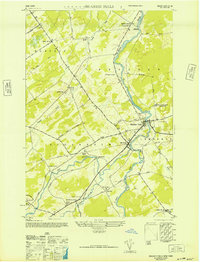
1946 · Brasher Falls
USGS Topo · 1:24,000