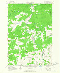
1964 Map of North Lawrence
USGS Topo · Published 1966About this map
Deer River winds through the heart of this landscape, anchoring the hamlets and crossroads that define northern St. Lawrence County in the mid-1960s. The settlement pattern is characterized by a series of family-named junctions, such as Coteys Corner, McEwens Corner, and Wagstaff Corner, reflecting the agricultural and genealogical history of the township. North Lawrence and Lawrenceville serve as the primary population centers, while the surrounding area is heavily dominated by public lands including the St Lawrence State Forest and the Franklin State Forest. This survey captures a rural New York economy dependent on local resources, shown by the numerous Gravel Pits scattered near roadways. Researchers will find a preserved record of local heritage in several small burial grounds like Flint Chaffee Cem and Maple Grove Cem, which remain tucked between the woodlands and the network of local roads such as Mc Cuin Road and Hallahan Road.
Find a feature on this map
45 named features on this map. Tap any name to fly to it.
Don’t see what you’re looking for? This feature index may not catch every label — zoom into the map to look around manually.
Map Details
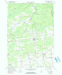
Editions of this 1964 North Lawrence Map
2 editions found
Other maps of this area

1906 · Massena
USGS Topo · 1:62,500

1907 · Massena
USGS Topo · 1:62,500

1908 · Potsdam
USGS Topo · 1:62,500

1915 · Moira
USGS Topo · 1:62,500

1917 · Moira
USGS Topo · 1:62,500

1919 · Nicholville
USGS Topo · 1:62,500

1921 · Nicholville
USGS Topo · 1:62,500
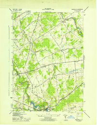
1943 · Parishville
USGS Topo · 1:31,680

1944 · Moira
USGS Topo · 1:62,500
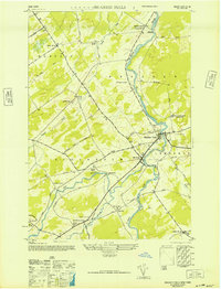
1946 · Brasher Falls
USGS Topo · 1:24,000