Loading...
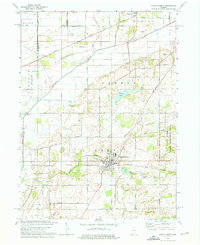
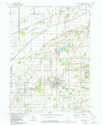
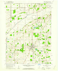
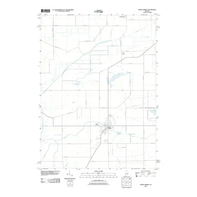
Loading map...1974 Map of North Liberty
USGS Topo · Published 1975About this map
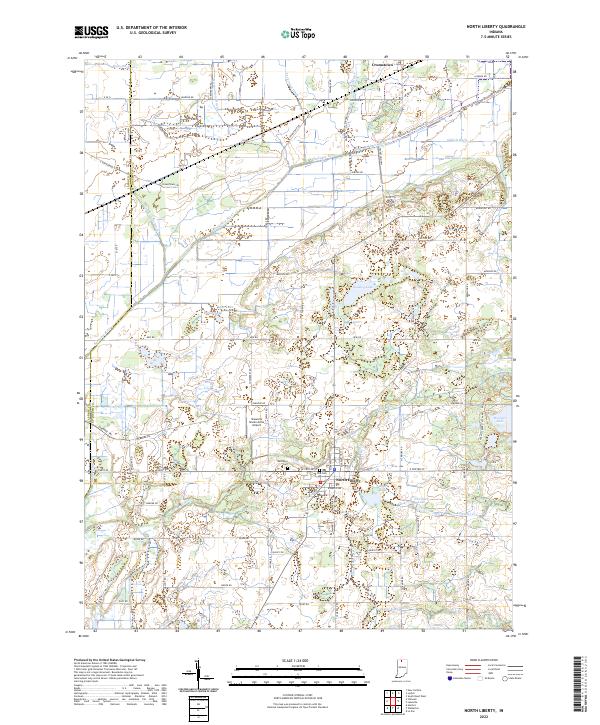
North Liberty serves as the primary hub on this Indiana landscape, situated where the Norfolk and Western and Penn Central rail lines once intersected. The town's grid is anchored by the Westlawn Cem and overlooks Rupel Lake to the south. This mid-1970s survey illustrates a region defined by extensive drainage management, with numerous channels such as Tascher Ditch and Strawberry Ditch feeding into the Kankakee River as it crosses the northwestern corner.
Find a feature on this map
54 named features on this map. Tap any name to fly to it.
Don’t see what you’re looking for? This feature index may not catch every label — zoom into the map to look around manually.
Map Details
Date Portrayed1974
Date Published1975
PublisherU.S. Geological Survey
Map TypeTopographic
Scale1:24,000
Physical Dimensions22 x 27 inches
Editions of this 1974 North Liberty Map
2 editions found
Historical Maps of North Liberty Through Time
7 maps found
Featured Locations
Source Details
SourceU.S. Geological Survey
CopyrightPublic Domain