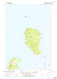
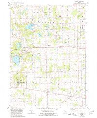
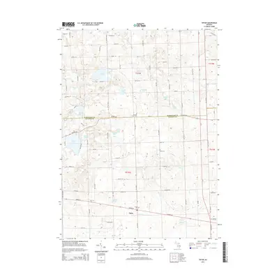
1956 Map of North Manitou
USGS Topo · Published 1976About this map
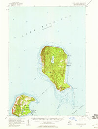
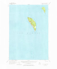
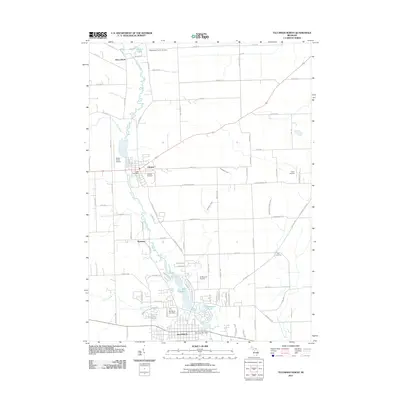
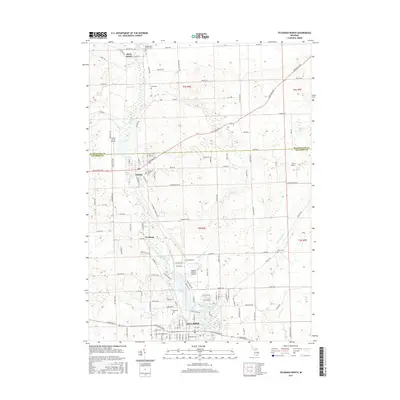
North Manitou Island and South Manitou Island sit isolated within Lake Michigan in this mid-century survey, revealing a landscape defined by maritime necessity and transition. The settlement at North Manitou is flanked by the interior waters of Lake Manitou and Tamarack Lake, while a Landing Field and a Lifeboat Station mark the island's role in navigation. On the southern island, much of the terrain is protected as part of the Glen Arbor State Forest, where the S Manitou Island Light stands near Sandy Point. Evidence of a changing local community is visible in the presence of the N Manitou I Sch (Abandoned) and S Manitou I Sch (Abandoned), alongside the S Manitou I Cem, providing essential markers for genealogical research in Leelanau County's island history.
Find a feature on this map
27 named features on this map. Tap any name to fly to it.
Don’t see what you’re looking for? This feature index may not catch every label — zoom into the map to look around manually.
Map Details
Editions of this 1956 North Manitou Map
2 editions found
Historical Maps of Glen Arbor Township Through Time
38 maps found
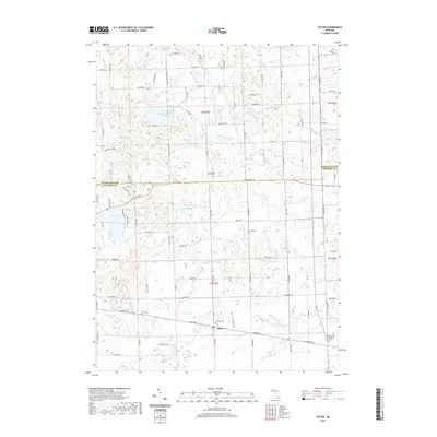
1956 North Manitou
Lenawee County, MI
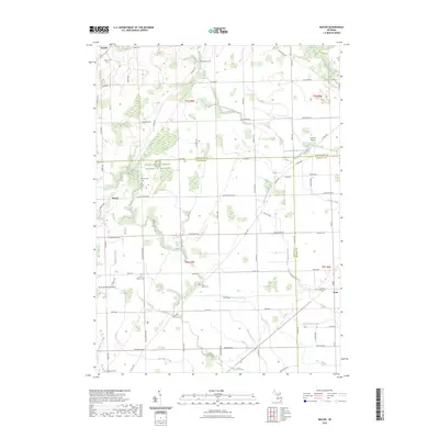
1956 South Fox Island
Lenawee County, MI
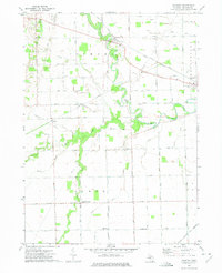
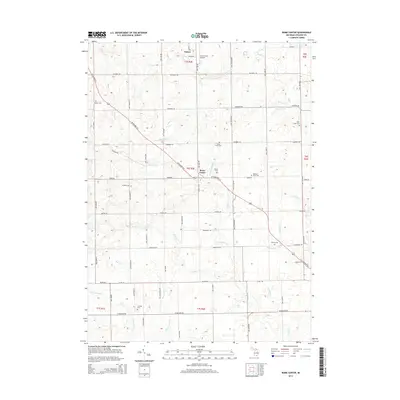
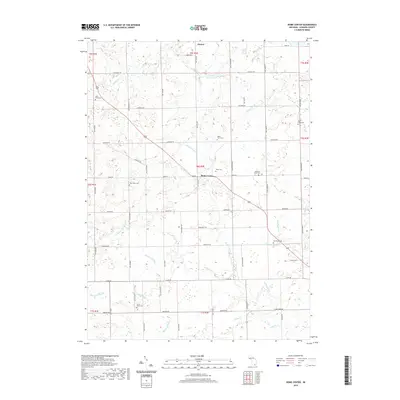
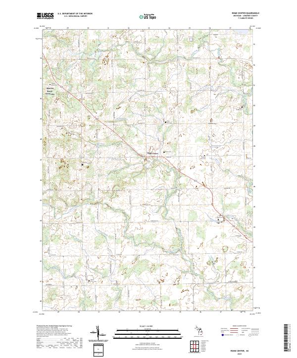
1962 Rome Center
Lenawee County, MI
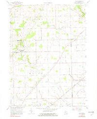
1967 Macon
Lenawee County, MI
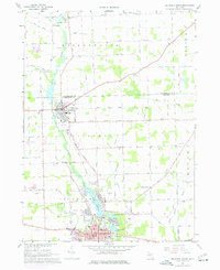
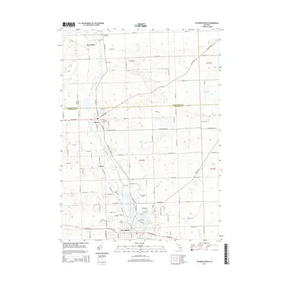
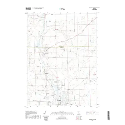
1967 Tecumseh North
Lenawee County, MI
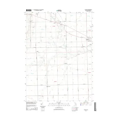
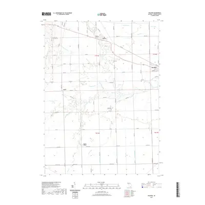
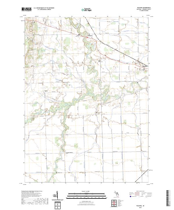
1972 Palmyra
Lenawee County, MI
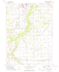
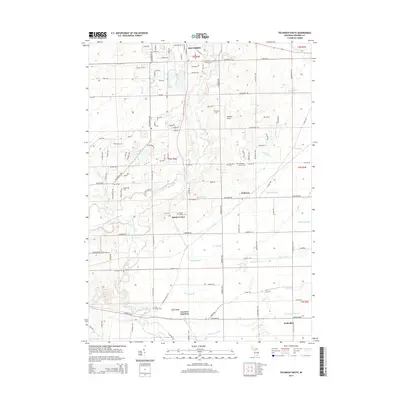
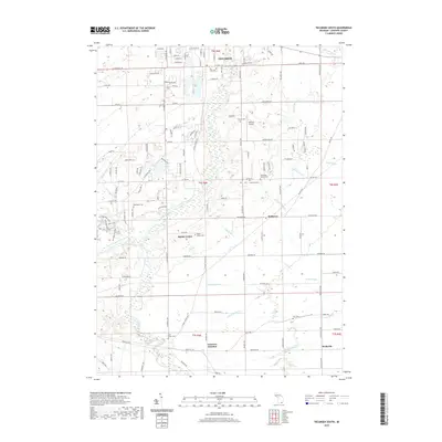
1972 Tecumseh South
Lenawee County, MI
1980 Tipton
Lenawee County, MI
2011 Macon
Lenawee County, MI
2011 Palmyra
Lenawee County, MI
2011 Rome Center
Lenawee County, MI
2011 Tecumseh North
Lenawee County, MI
2011 Tecumseh South
Lenawee County, MI
2011 Tipton
Lenawee County, MI
2014 Macon
Lenawee County, MI
2014 Palmyra
Lenawee County, MI
2014 Rome Center
Lenawee County, MI
2014 Tecumseh North
Lenawee County, MI
2014 Tecumseh South
Lenawee County, MI
2014 Tipton
Lenawee County, MI
2017 Macon
Lenawee County, MI
2017 Palmyra
Lenawee County, MI
2017 Rome Center
Lenawee County, MI
2017 Tecumseh North
Lenawee County, MI
2017 Tecumseh South
Lenawee County, MI
2017 Tipton
Lenawee County, MI
2019 Macon
Lenawee County, MI
2019 Palmyra
Lenawee County, MI
2019 Rome Center
Lenawee County, MI
2019 Tecumseh North
Lenawee County, MI
2019 Tecumseh South
Lenawee County, MI
2019 Tipton
Lenawee County, MI
2023 Macon
Lenawee County, MI
2023 Palmyra
Lenawee County, MI
2023 Rome Center
Lenawee County, MI
2023 Tecumseh North
Lenawee County, MI
2023 Tecumseh South
Lenawee County, MI
2023 Tipton
Lenawee County, MI
Featured Locations
- United States
- Leelanau County, MI
- Glen Arbor Township, MI
- Leland Township, MI
- North Manitou, Leland Township