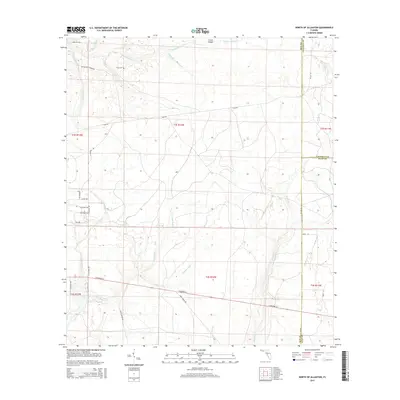
2015 Map of North of Allanton
USGS Topo · Published 2015About this map
Kent Cem sits as a quiet landmark amidst a landscape defined by the intricate waterways of Bay and Gulf counties. This 2015 survey reveals a terrain crisscrossed by low-lying drainages including Beechwood Br, Island Br, and the wide reaches of Bayou George Cr. The southern portion of the map is dominated by the expansive Cooks Bayou and its many tributaries, such as Olivers Creek and Cushion Cr, which weave through the wetlands.
Find a feature on this map
36 named features on this map. Tap any name to fly to it.
Don’t see what you’re looking for? This feature index may not catch every label — zoom into the map to look around manually.
Map Details
Editions of this 2015 North of Allanton Map
This is the sole edition of this map. No revisions or reprints were ever made.
Other maps of this area
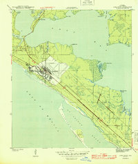
1944 · Long Point
USGS Topo · 1:31,680
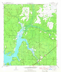
1944 · Bayhead
USGS Topo · 1:24,000
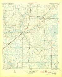
1945 · Youngstown
USGS Topo · 1:31,680
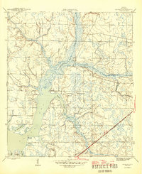
1945 · Bayhead
USGS Topo · 1:31,680
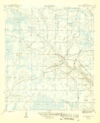
1945 · Broad Branch
USGS Topo · 1:31,680
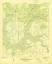
1945 · Allanton
USGS Topo · 1:31,680
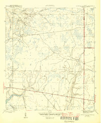
1945 · North Of Allanton
USGS Topo · 1:31,680
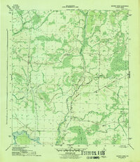
1945 · Wetappo Creek
USGS Topo · 1:31,680
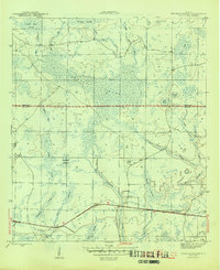
1945 · Tenmile Swamp
USGS Topo · 1:31,680
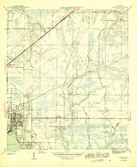
1945 · Parker
USGS Topo · 1:31,680