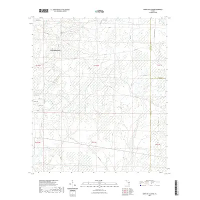
2021 Map of North of Allanton
USGS Topo · Published 2021About this map
The Kent Family Cem sits in the northwest of this Florida landscape, a quiet genealogical landmark near the headwaters of Island Br. This portion of Panama City is defined by a dense network of waterways and wetlands including Grape Swamp, California Swamp, and Green Bay Swamp. These drainages feed into significant local arteries like Bayou George and Cooks Bayou.
Find a feature on this map
53 named features on this map. Tap any name to fly to it.
Don’t see what you’re looking for? This feature index may not catch every label — zoom into the map to look around manually.
Map Details
Editions of this 2021 North of Allanton Map
This is the sole edition of this map. No revisions or reprints were ever made.
Other maps of this area

1944 · Long Point
USGS Topo · 1:31,680

1944 · Bayhead
USGS Topo · 1:24,000

1945 · Youngstown
USGS Topo · 1:31,680

1945 · Bayhead
USGS Topo · 1:31,680

1945 · Broad Branch
USGS Topo · 1:31,680

1945 · Allanton
USGS Topo · 1:31,680

1945 · North Of Allanton
USGS Topo · 1:31,680

1945 · Wetappo Creek
USGS Topo · 1:31,680

1945 · Tenmile Swamp
USGS Topo · 1:31,680
1945 · Parker
USGS Topo · 1:31,680