1979 Map of North Of Bushnell
USGS Topo · Published 1993About this map
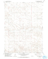
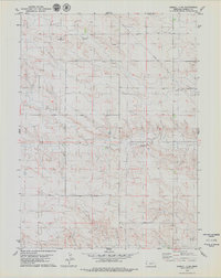
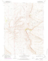
The High Plains of Kimball County are defined here by a sparse, industrial landscape as it appeared in the late 1970s. The terrain is marked by the infrastructure of energy extraction, specifically numerous Oil Wells and a solitary Oil Well situated across the northern sections. A large Pipeline cuts across the northeastern quadrant, tracing a path through the open country. Commercial activity is further evidenced by several Gravel Pits located near the head of the drainage systems. This area, situated just north of the community of Bushnell, shows a transition from agricultural land use to more technical industrial developments, anchored in the south by a prominent Radio Tower.
Find a feature on this map
5 named features on this map. Tap any name to fly to it.
Don’t see what you’re looking for? This feature index may not catch every label — zoom into the map to look around manually.
Map Details
Editions of this 1979 North Of Bushnell Map
2 editions found
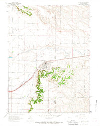
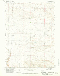
Other maps of this area

1954 · Scottsbluff
USGS Topo · 1:250,000

1954 · Cheyenne
USGS Topo · 1:250,000

1958 · Cheyenne
USGS Topo · 1:250,000

1958 · Scottsbluff
USGS Topo · 1:250,000
1963 · Pine Bluffs
USGS Topo · 1:24,000
1963 · Lindbergh
USGS Topo · 1:24,000
1968 · Pine Bluffs
USGS Topo · 1:24,000
1972 · Bushnell
USGS Topo · 1:24,000
1972 · Oliver Reservoir
USGS Topo · 1:24,000
1973 · Kimball 2 NE
USGS Topo · 1:24,000