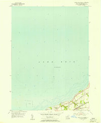
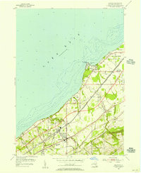
1955 Map of North Of Dunkirk
USGS Topo · Published 1956About this map
Lake Erie dominates this mid-century coastal survey, defining the industrial and recreational character of Chautauqua County. The city boundary of Dunkirk marks the western edge of the landmass, where Wright Park sits along the shoreline near a designated Spoil Area. The landscape transitions into Sheridan, characterized by a dense concentration of transportation infrastructure that mirrors the mid-1950s economic reliance on the Great Lakes corridor.
Find a feature on this map
19 named features on this map. Tap any name to fly to it.
Don’t see what you’re looking for? This feature index may not catch every label — zoom into the map to look around manually.
Map Details
Editions of this 1955 North Of Dunkirk Map
Other maps of this area

1899 · Silver Creek
USGS Topo · 1:62,500

1900 · Dunkirk
USGS Topo · 1:62,500

1900 · Cherry Creek
USGS Topo · 1:62,500

1941 · Cherry Creek
USGS Topo · 1:62,500

1943 · Dunkirk
USGS Topo · 1:62,500

1943 · Silver Creek
USGS Topo · 1:24,000

1944 · Silver Creek
USGS Topo · 1:31,680

1954 · Forestville
USGS Topo · 1:24,000
1954 · Dunkirk
USGS Topo · 1:24,000
1954 · Brocton
USGS Topo · 1:24,000