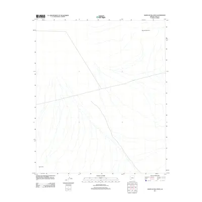
2011 Map of North of Isla Pinta
USGS Topo · Published 2011About this map
The dry washes and desert expanses of Yuma County are documented in this 2011 survey, showing the vast alluvial fans that spread across the landscape. The northern reaches of the Sierra Pinta anchor the southwest corner, while the Mohawk Mountains rise in the northeast, framing a broad valley defined by intricate drainage patterns. This map illustrates the stark geography of the Sonoran Desert, where ephemeral watercourses create a dense network of braided channels across the valley floor. Aside from a few light-duty and unimproved roads that cut straight paths through the terrain, the area remains largely undisturbed by modern development, preserving the natural drainage morphology of this arid environment.
Find a feature on this map
2 named features on this map. Tap any name to fly to it.
Don’t see what you’re looking for? This feature index may not catch every label — zoom into the map to look around manually.
Map Details
Editions of this 2011 North of Isla Pinta Map
This is the sole edition of this map. No revisions or reprints were ever made.
Other maps of this area
1927 · Aguila Mountains
USGS Topo · 1:48,000
1927 · Kim
USGS Topo · 1:62,500
1930 · Aguila Mountains
USGS Topo · 1:62,500
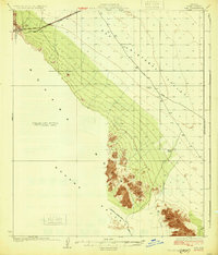
1931 · Kim
USGS Topo · 1:62,500

1953 · Ajo
USGS Topo · 1:250,000

1957 · Ajo
USGS Topo · 1:250,000

1958 · Ajo
USGS Topo · 1:250,000

1962 · Ajo
USGS Topo · 1:250,000

1963 · Ajo
USGS Topo · 1:250,000
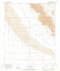
1965 · Mohawk Mts SW
USGS Topo · 1:24,000