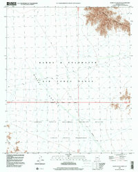
1996 Map of North of Isla Pinta
USGS Topo · Published 2000About this map
The Mohawk Valley dominates this arid landscape in Yuma County, serving as a vast transition between the Mohawk Mountains to the northeast and the rising peaks of the Sierra Pinta in the southwest. This area is defined by its extreme isolation and federal oversight, split between the Barry M Goldwater Air Force Range and the Cabeza Prieta National Wildlife Refuge.
Find a feature on this map
19 named features on this map. Tap any name to fly to it.
Don’t see what you’re looking for? This feature index may not catch every label — zoom into the map to look around manually.
Map Details
Editions of this 1996 North of Isla Pinta Map
This is the sole edition of this map. No revisions or reprints were ever made.
Other maps of this area

1927 · Aguila Mountains
USGS Topo · 1:48,000

1927 · Kim
USGS Topo · 1:62,500

1930 · Aguila Mountains
USGS Topo · 1:62,500

1931 · Kim
USGS Topo · 1:62,500

1953 · Ajo
USGS Topo · 1:250,000

1957 · Ajo
USGS Topo · 1:250,000

1958 · Ajo
USGS Topo · 1:250,000

1962 · Ajo
USGS Topo · 1:250,000

1963 · Ajo
USGS Topo · 1:250,000
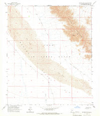
1965 · Mohawk Mts SW
USGS Topo · 1:24,000