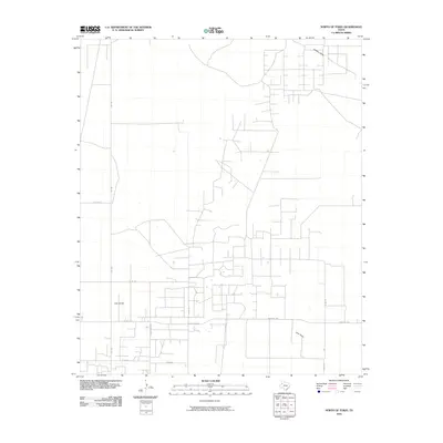
2010 Map of North of Tokio
USGS Topo · Published 2010About this map
Lost Draw and Sulphur Draw define the drainage patterns of this high plains region in Terry County. The landscape is dominated by a systematic grid of section roads and agricultural infrastructure, reflecting the late 20th-century development of West Texas ranching and farming. Key transit corridors like FM 1780 and Ranch Rd 2196 serve as the primary links between remote agricultural parcels. The intersection of Countyline Rd and Six Mile Rd illustrates the rigid surveying methods used to partition this arid terrain. While the area is largely devoid of dense settlements, the network of local routes such as Taylor Rd and Co Rd 150 reveals a territory deeply organized for large-scale land management and natural resource access.
Find a feature on this map
12 named features on this map. Tap any name to fly to it.
Don’t see what you’re looking for? This feature index may not catch every label — zoom into the map to look around manually.
Map Details
Editions of this 2010 North of Tokio Map
This is the sole edition of this map. No revisions or reprints were ever made.
Other maps of this area

1954 · Brownfield
USGS Topo · 1:250,000

1958 · Brownfield
USGS Topo · 1:250,000

1962 · Brownfield
USGS Topo · 1:250,000

1965 · Sundown
USGS Topo · 1:24,000

1965 · Plains 1 NE
USGS Topo · 1:24,000

1969 · Gomez
USGS Topo · 1:24,000

1969 · Plains 1 SE
USGS Topo · 1:24,000

1969 · Pool
USGS Topo · 1:24,000

1970 · Plains 1 SW
USGS Topo · 1:24,000

1970 · Tokio
USGS Topo · 1:24,000