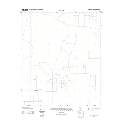
2012 Map of North of Tokio
USGS Topo · Published 2012About this map
Terry County's agricultural grid and rural infrastructure define this West Texas landscape, showing the systematic development of the South Plains. The map captures a high-density network of section roads and farm-to-market routes, including the primary corridor of FM-1780 and the west-east transit of Ranch Road 2196. These routes provide the backbone for the scattered rural homesteads and agricultural operations that populate the territory north of Tokio.
Find a feature on this map
11 named features on this map. Tap any name to fly to it.
Don’t see what you’re looking for? This feature index may not catch every label — zoom into the map to look around manually.
Map Details
Editions of this 2012 North of Tokio Map
This is the sole edition of this map. No revisions or reprints were ever made.
Other maps of this area

1954 · Brownfield
USGS Topo · 1:250,000

1958 · Brownfield
USGS Topo · 1:250,000

1962 · Brownfield
USGS Topo · 1:250,000
1965 · Sundown
USGS Topo · 1:24,000
1965 · Plains 1 NE
USGS Topo · 1:24,000
1969 · Gomez
USGS Topo · 1:24,000
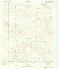
1969 · Plains 1 SE
USGS Topo · 1:24,000
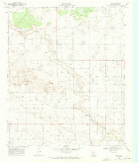
1969 · Pool
USGS Topo · 1:24,000
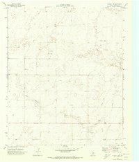
1970 · Plains 1 SW
USGS Topo · 1:24,000
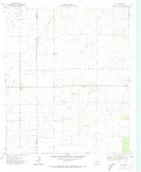
1970 · Tokio
USGS Topo · 1:24,000