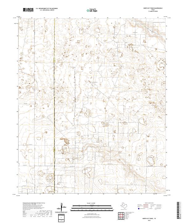
2022 Map of North of Tokio
USGS Topo · Published 2022About this map
The Yoakum Co Terry Co boundary line anchors this section of the High Plains, where the terrain is defined by ancient drainages cutting through the agricultural landscape. These ephemeral watercourses, specifically Sulphur Draw in the northeast and Lost Draw further south, dictate the natural topography of an otherwise flat and wind-swept region. The map reveals a highly structured grid of section roads and farm-to-market routes that facilitate the local ranching and farming economy.
Find a feature on this map
13 named features on this map. Tap any name to fly to it.
Don’t see what you’re looking for? This feature index may not catch every label — zoom into the map to look around manually.
Map Details
Editions of this 2022 North of Tokio Map
This is the sole edition of this map. No revisions or reprints were ever made.
Other maps of this area

1954 · Brownfield
USGS Topo · 1:250,000

1958 · Brownfield
USGS Topo · 1:250,000

1962 · Brownfield
USGS Topo · 1:250,000

1965 · Sundown
USGS Topo · 1:24,000

1965 · Plains 1 NE
USGS Topo · 1:24,000

1969 · Gomez
USGS Topo · 1:24,000

1969 · Plains 1 SE
USGS Topo · 1:24,000

1969 · Pool
USGS Topo · 1:24,000

1970 · Plains 1 SW
USGS Topo · 1:24,000

1970 · Tokio
USGS Topo · 1:24,000