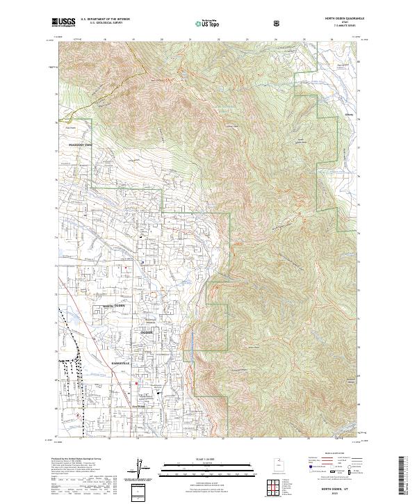
2023 Map of North Ogden
USGS Topo · Published 2023About this map
North Ogden and its surrounding communities sit at the foot of the Wasatch Range, where the suburban sprawl of Ogden and Harrisville meets the steep ascent of the mountains. This modern survey illustrates the intensive water management required in this environment, featuring a complex network of man-made waterways including the Ogden Brigham Canal, North Ogden Canal, and the Western Canal. These structures channel water from mountain drainages like Coldwater Canyon and Rice Creek to support the valley's development.
Find a feature on this map
210 named features on this map. Tap any name to fly to it.
Don’t see what you’re looking for? This feature index may not catch every label — zoom into the map to look around manually.
Map Details
Editions of this 2023 North Ogden Map
This is the sole edition of this map. No revisions or reprints were ever made.
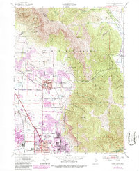
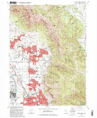
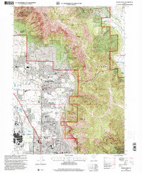
Historical Maps of Ogden Through Time
4 maps found