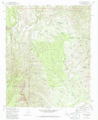
1973 Map of North Peak
USGS Topo · Published 1975About this map
Mazatzal Mountains and the surrounding high desert terrain dominate this 1973 survey of central Arizona. The confluence of the Verde River and the East Verde River defines the northwest corner of the map, while the interior is marked by the rugged protected lands of the Tonto National Forest and the Mazatzal Wilderness. The landscape is etched with complex drainages such as American Gulch and Limestone Canyon, supporting remote outposts like Doll Baby Ranch and Simonton Flat.
Find a feature on this map
83 named features on this map. Tap any name to fly to it.
Don’t see what you’re looking for? This feature index may not catch every label — zoom into the map to look around manually.
Map Details
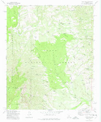
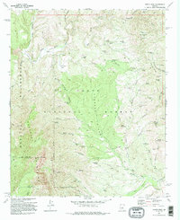
Editions of this 1973 North Peak Map
3 editions found
Other maps of this area

1887 · Verde
USGS Topo · 1:250,000

1892 · Verde
USGS Topo · 1:250,000

1929 · Turret Peak
USGS Topo · 1:125,000

1933 · Turret Peak
USGS Topo · 1:125,000

1934 · Pine
USGS Topo · 1:62,500

1936 · Payson
USGS Topo · 1:48,000

1940 · Pine
USGS Topo · 1:62,500

1942 · Payson
USGS Topo · 1:62,500

1952 · Pine
USGS Topo · 1:62,500

1954 · Holbrook
USGS Topo · 1:250,000