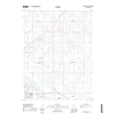
2017 Map of North Platte East
USGS Topo · Published 2017About this map
The North Platte River and the meandering White Horse Cr dominate the lowlands of this Nebraska landscape, where the city of North Platte begins its eastern expansion. This region reflects a complex history of military and pioneer movement, evidenced by street names like General Dodge Rd, Fort Moore Dr, and Cavalry Hills Dr. The transportation network is anchored by the North Platte Regional Airport Lee Bird Field and the industrial presence of Beck near the riverbank.
Find a feature on this map
52 named features on this map. Tap any name to fly to it.
Don’t see what you’re looking for? This feature index may not catch every label — zoom into the map to look around manually.
Map Details
Editions of this 2017 North Platte East Map
This is the sole edition of this map. No revisions or reprints were ever made.
Other maps of this area
1899 · North Platte
USGS Topo · 1:125,000
1902 · North Platte
USGS Topo · 1:125,000
1954 · North Platte
USGS Topo · 1:250,000
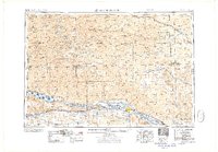
1956 · North Platte
USGS Topo · 1:250,000
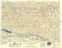
1957 · North Platte
USGS Topo · 1:250,000
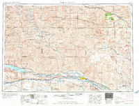
1967 · North Platte
USGS Topo · 1:250,000
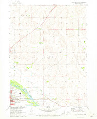
1970 · North Platte East
USGS Topo · 1:24,000
1970 · North Platte West
USGS Topo · 1:24,000
1970 · Maxwell
USGS Topo · 1:24,000
1970 · Maxwell SW
USGS Topo · 1:24,000