
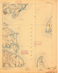
1893 Map of North Point
USGS Topo · Published 1893About this map
Baltimore's industrial and maritime reaches dominate this late-nineteenth-century survey of the Chesapeake Bay. The emerging industrial complex at Sparrow Point and the town of Steelton mark the northern edge of the Patapsco, while the southern shores of Anne Arundel reveal a landscape of creek-side settlements and rural outposts. Local commerce is centered around landmarks like Jacob Store and Wilson Wharf, with small communities such as St Margaret and Winchester scattered among the intricate inlets of the Magothy River and Deep Creek. Navigation is a primary focus, documented through a sophisticated network of beacons including the Seven Foot Knoll Light and the Craighill Channel Front Light. Across the bay, the western fringes of Kent Island and the landing at Rock Hall Landing illustrate the vital ferry and shipping connections that linked these shores before modern bridges transformed the region's geography.
Find a feature on this map
59 named features on this map. Tap any name to fly to it.
Don’t see what you’re looking for? This feature index may not catch every label — zoom into the map to look around manually.
Map Details
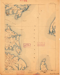
Editions of this 1893 North Point Map
3 editions found
Other maps of this area

1892 · Owensville
USGS Topo · 1:62,500

1892 · Annapolis
USGS Topo · 1:62,500

1893 · Gunpowder
USGS Topo · 1:62,500

1894 · Baltimore
USGS Topo · 1:62,500

1894 · Relay
USGS Topo · 1:62,500

1895 · Owensville
USGS Topo · 1:62,500

1898 · Choptank
USGS Topo · 1:125,000

1898 · Tolchester
USGS Topo · 1:125,000

1899 · Patuxent
USGS Topo · 1:125,000

1899 · Baltimore
USGS Topo · 1:62,500