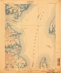
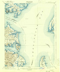
1904 Map of North Point
USGS Topo · Published 1904About this map
Maritime commerce and military defense anchor this turn-of-the-century coastal survey, dominated by the wide reaches of the Chesapeake Bay and the mouth of the Patapsco River. Industrial development is evident at Sparrow Point and nearby Chesapeake Mills, while the defensive positions of Fort Howard and Fort Smallwood guard the approaches to Baltimore. The intricate shoreline of Hog Neck and Bodkin Neck reveals a landscape of tidal creeks and family-named landings, such as Old Landen Point and Ulmstead Point.
Find a feature on this map
106 named features on this map. Tap any name to fly to it.
Don’t see what you’re looking for? This feature index may not catch every label — zoom into the map to look around manually.
Map Details
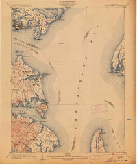
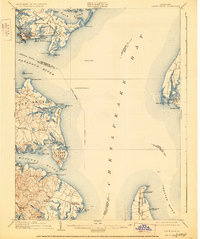
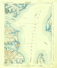
Editions of this 1904 North Point Map
5 editions found
Other maps of this area

1892 · Owensville
USGS Topo · 1:62,500

1892 · Annapolis
USGS Topo · 1:62,500

1893 · North Point
USGS Topo · 1:62,500

1893 · Gunpowder
USGS Topo · 1:62,500

1894 · Baltimore
USGS Topo · 1:62,500

1894 · Relay
USGS Topo · 1:62,500

1895 · Owensville
USGS Topo · 1:62,500

1898 · Choptank
USGS Topo · 1:125,000

1898 · Tolchester
USGS Topo · 1:125,000

1899 · Patuxent
USGS Topo · 1:125,000