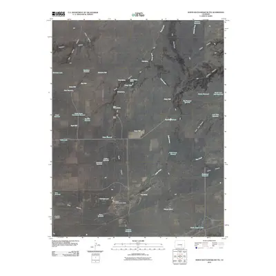
2010 Map of North Rattlesnake Butte
USGS Topo · Published 2010About this map
North Rattlesnake Butte stands as a prominent landmark in this arid region of Southern Colorado, where the management of water is the primary shaper of the landscape. The map reveals an extensive network of man-made water catchments and named wells, such as Machatten Reservoir, Six Thousand Reservoir, and Oxbow Well, all critical for sustaining operations like the Chase Ranch. The terrain is cut by numerous drainages, most notably Doyle Arroyo and Tinaja Canyon, which descend from Turkey Ridge.
Find a feature on this map
53 named features on this map. Tap any name to fly to it.
Don’t see what you’re looking for? This feature index may not catch every label — zoom into the map to look around manually.
Map Details
Editions of this 2010 North Rattlesnake Butte Map
This is the sole edition of this map. No revisions or reprints were ever made.
Other maps of this area

1891 · Walsenburg
USGS Topo · 1:125,000

1891 · Apishapa
USGS Topo · 1:125,000

1893 · Apishapa
USGS Topo · 1:125,000

1894 · Walsenburg
USGS Topo · 1:125,000

1897 · Walsenburg
USGS Topo · 1:125,000

1897 · Apishapa
USGS Topo · 1:125,000

1900 · Walsenburg
USGS Topo · 1:125,000

1954 · Trinidad
USGS Topo · 1:250,000

1955 · Trinidad
USGS Topo · 1:250,000

1958 · Trinidad
USGS Topo · 1:250,000