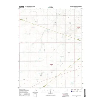
2016 Map of North Rattlesnake Butte
USGS Topo · Published 2016About this map
N Rattlesnake Butte stands as a prominent landmark in this landscape of Southern Colorado, where the borders of Pueblo, Huerfano, and Las Animas counties meet. This area is characterized by an extensive network of water management features, including the United States Government Reservoir and numerous named stock ponds like Six Thousand Reservoir and Overshaun Reservoir. These reservoirs, paired with natural water sources such as Duran Spring and Bobins Pocket Spring, reflect the vital importance of water rights and livestock management in this high-plains environment.
Find a feature on this map
57 named features on this map. Tap any name to fly to it.
Don’t see what you’re looking for? This feature index may not catch every label — zoom into the map to look around manually.
Map Details
Editions of this 2016 North Rattlesnake Butte Map
This is the sole edition of this map. No revisions or reprints were ever made.
Other maps of this area
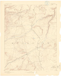
1891 · Walsenburg
USGS Topo · 1:125,000
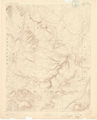
1891 · Apishapa
USGS Topo · 1:125,000
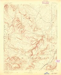
1893 · Apishapa
USGS Topo · 1:125,000
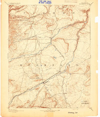
1894 · Walsenburg
USGS Topo · 1:125,000
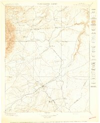
1897 · Walsenburg
USGS Topo · 1:125,000
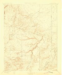
1897 · Apishapa
USGS Topo · 1:125,000
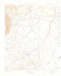
1900 · Walsenburg
USGS Topo · 1:125,000

1954 · Trinidad
USGS Topo · 1:250,000

1955 · Trinidad
USGS Topo · 1:250,000

1958 · Trinidad
USGS Topo · 1:250,000