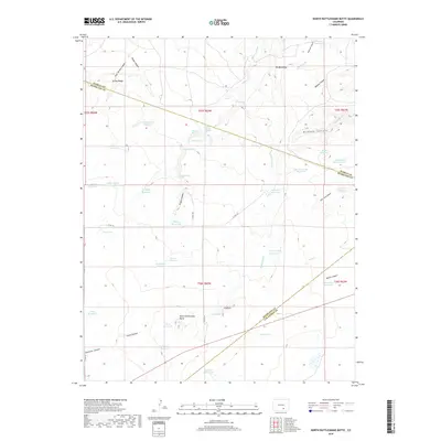
2019 Map of North Rattlesnake Butte
USGS Topo · Published 2019About this map
North Rattlesnake Butte stands as the primary landmark in this drainage-rich portion of the Colorado high plains, situated at the intersection of Pueblo, Huerfano, and Las Animas counties. The landscape is defined by an intricate network of arroyos and canyons, including Madden Canyon, Robins Canyon, and Hamilton Canyon, which have historically necessitated a complex system of water management. Numerous named catchments like Six Thousand Reservoir, the United States Government Reservoir, and Machatten Reservoir dot the terrain, illustrating the persistent effort to harness seasonal runoff in an arid environment.
Find a feature on this map
55 named features on this map. Tap any name to fly to it.
Don’t see what you’re looking for? This feature index may not catch every label — zoom into the map to look around manually.
Map Details
Editions of this 2019 North Rattlesnake Butte Map
This is the sole edition of this map. No revisions or reprints were ever made.
Other maps of this area
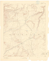
1891 · Walsenburg
USGS Topo · 1:125,000
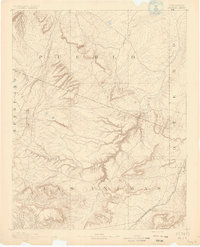
1891 · Apishapa
USGS Topo · 1:125,000
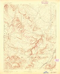
1893 · Apishapa
USGS Topo · 1:125,000
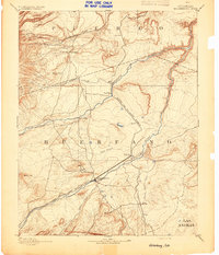
1894 · Walsenburg
USGS Topo · 1:125,000
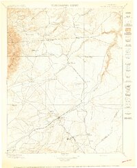
1897 · Walsenburg
USGS Topo · 1:125,000
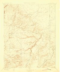
1897 · Apishapa
USGS Topo · 1:125,000
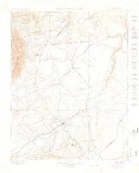
1900 · Walsenburg
USGS Topo · 1:125,000

1954 · Trinidad
USGS Topo · 1:250,000

1955 · Trinidad
USGS Topo · 1:250,000

1958 · Trinidad
USGS Topo · 1:250,000