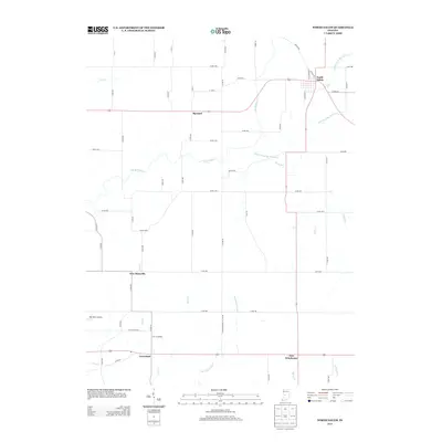
2013 Map of North Salem
USGS Topo · Published 2013About this map
North Salem anchors the northeast corner of this central Indiana landscape, where the confluence of several branches of Big Walnut Cr defines the local topography. This region is characterized by a network of small, scattered agrarian settlements including Barnard, New Maysville, Groveland, and New Winchester, all connected by a grid of county roads that crisscross the drainage basins of Middle Fork Big Walnut Cr and East Fork Big Walnut Cr.
Find a feature on this map
58 named features on this map. Tap any name to fly to it.
Don’t see what you’re looking for? This feature index may not catch every label — zoom into the map to look around manually.
Map Details
Editions of this 2013 North Salem Map
This is the sole edition of this map. No revisions or reprints were ever made.
Other maps of this area

1953 · Clayton
USGS Topo · 1:24,000

1953 · Lizton
USGS Topo · 1:24,000

1953 · Danville
USGS Topo · 1:24,000

1953 · Indianapolis
USGS Topo · 1:250,000

1956 · Indianapolis
USGS Topo · 1:250,000

1957 · Indianapolis
USGS Topo · 1:250,000

1957 · New Ross
USGS Topo · 1:24,000

1958 · Roachdale
USGS Topo · 1:24,000

1958 · Ladoga
USGS Topo · 1:24,000

1958 · Coatesville
USGS Topo · 1:24,000