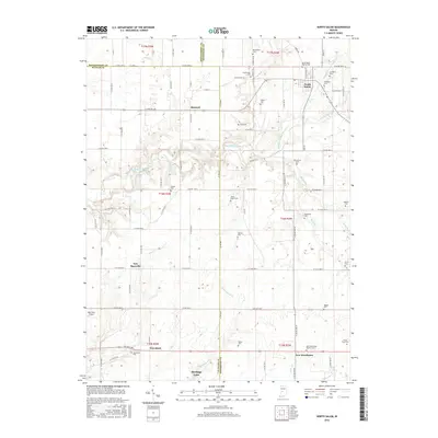
2016 Map of North Salem
USGS Topo · Published 2016About this map
North Salem stands as the primary hub of this west-central Indiana landscape, where the agricultural grid is deeply etched into the topography of the Middle Fork Big Walnut Cr and its many tributaries. The area is marked by a dense concentration of small family and community burial grounds, such as Richardson Cem, Zimmerman Cem, and the Abner-Ragan Cem, reflecting generations of settlement across the Hendricks, Putnam, and Montgomery county lines. To the south, the development of Heritage Lake contrasts with the traditional crossroads settlements of Groveland and New Winchester. The map traces a complex network of waterways, including Plum Cr and Ramp Run, which cut through the level till plains, while small rural infrastructure like the Way West Airport and the New Winchester Baptist Cem anchor the social and economic life of these farming communities.
Find a feature on this map
61 named features on this map. Tap any name to fly to it.
Don’t see what you’re looking for? This feature index may not catch every label — zoom into the map to look around manually.
Map Details
Editions of this 2016 North Salem Map
This is the sole edition of this map. No revisions or reprints were ever made.
Other maps of this area
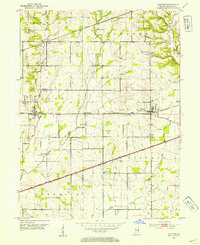
1953 · Clayton
USGS Topo · 1:24,000
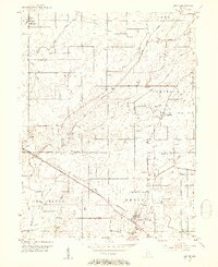
1953 · Lizton
USGS Topo · 1:24,000
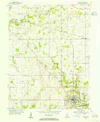
1953 · Danville
USGS Topo · 1:24,000
1953 · Indianapolis
USGS Topo · 1:250,000
1956 · Indianapolis
USGS Topo · 1:250,000
1957 · Indianapolis
USGS Topo · 1:250,000
1957 · New Ross
USGS Topo · 1:24,000
1958 · Roachdale
USGS Topo · 1:24,000
1958 · Ladoga
USGS Topo · 1:24,000
1958 · Coatesville
USGS Topo · 1:24,000