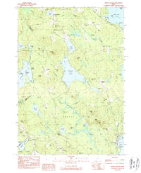
1983 Map of North Sebago
USGS Topo · Published 1984About this map
Peabody Pond and the surrounding woodlands define this landscape at the intersection of Cumberland and Oxford counties. In the early 1980s, the area remained characterized by small, established hamlets like Convene and Sebago Center, connected by a network of rural roads such as Town Farm Rd. The terrain is punctuated by significant elevations, including Bald Pate Mtn and Tiger Hill, which overlook a dense concentration of smaller water bodies like Holt Pond and Cold Rain Pond. For those tracing local families, numerous small burial grounds are documented, ranging from the Palmer-Ingalls Cem in the north to the Haley Cem further south. The map also records the seasonal character of the region, noting established recreation sites such as Camp Pondicherry and Camp Winaco, while the northern reaches of Sebago Lake anchor the southeastern corner of the quadrangle.
Find a feature on this map
92 named features on this map. Tap any name to fly to it.
Don’t see what you’re looking for? This feature index may not catch every label — zoom into the map to look around manually.
Map Details
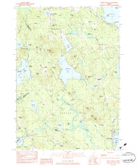
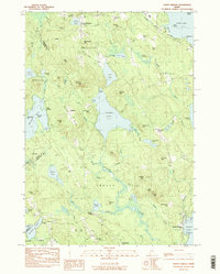
Editions of this 1983 North Sebago Map
3 editions found
Other maps of this area

1896 · Norway
USGS Topo · 1:62,500

1896 · Sebago
USGS Topo · 1:62,500

1909 · Fryeburg
USGS Topo · 1:62,500

1910 · Kezar Falls
USGS Topo · 1:48,000

1911 · Fryeburg
USGS Topo · 1:62,500

1911 · Kezar Falls
USGS Topo · 1:62,500

1941 · Fryeburg
USGS Topo · 1:62,500

1942 · Sebago Lake
USGS Topo · 1:62,500

1943 · Sebago Lake
USGS Topo · 1:62,500

1946 · Norway
USGS Topo · 1:62,500